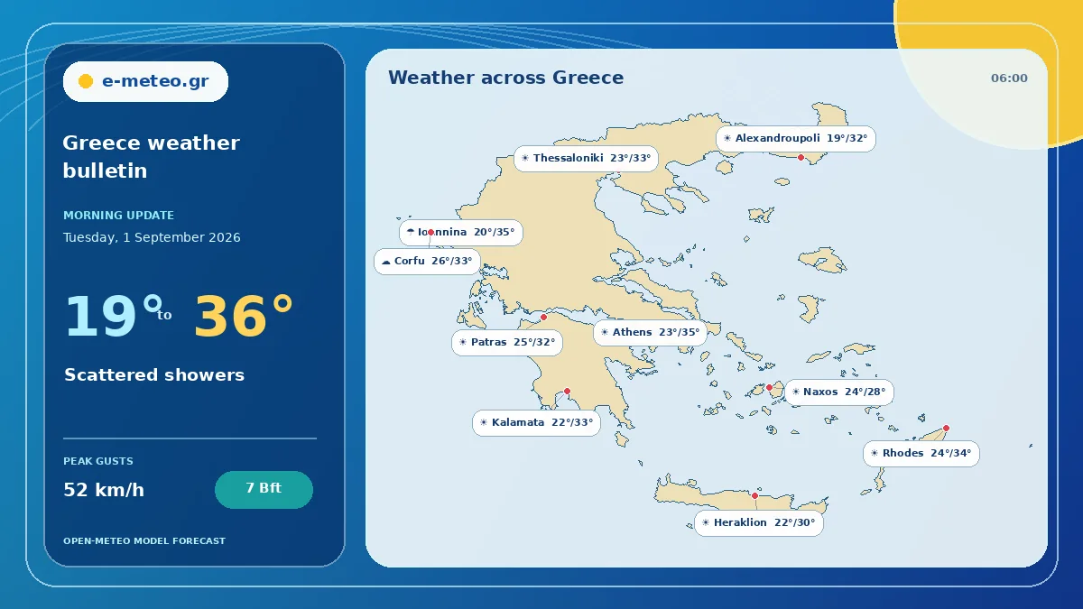
Evening update
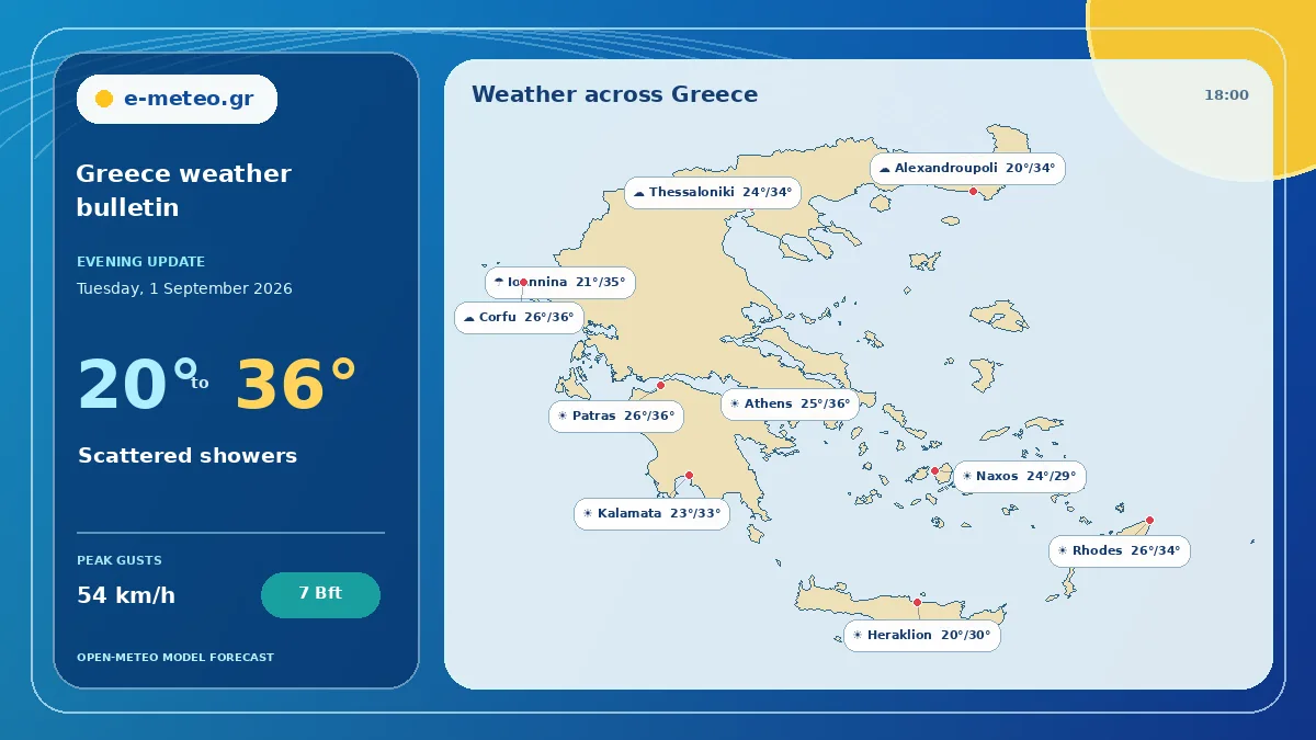
The evening update for tomorrow points to scattered showers across the representative locations. Temperatures range from 20 to 36°C, with the highest value around Patras.
The strongest gust signal is around Athens, reaching about 54 km/h (7 Bft). The national picture is a practical summary; use the linked local forecasts for neighbourhood-level timing.
Areas to watch
- Rain probability reaches 55% around Ioannina; allow extra travel time where showers develop.
- Peak gusts near Athens may reach 54 km/h (7 Bft), affecting exposed coasts and elevated roads.
- Localised unsettled weather is indicated around Ioannina; conditions may vary over short distances.
Regional outlook
Northern Greece
Northern Greece is expected to see mostly cloudy skies, with 20–34°C and winds up to 15 km/h (3 Bft). Rain probability reaches 38%.
Central and eastern mainland
Central and eastern mainland is expected to see mostly cloudy skies, with 22–36°C and winds up to 20 km/h (4 Bft).
Western Greece
Western Greece is expected to see scattered showers, with 21–36°C and winds up to 21 km/h (4 Bft). Rain probability reaches 55%.
Aegean islands
Aegean islands is expected to see partly cloudy skies, with 24–34°C and winds up to 32 km/h (5 Bft).
Peloponnese and Crete
Peloponnese and Crete is expected to see partly cloudy skies, with 20–33°C and winds up to 19 km/h (3 Bft).