Selected permanent guides
Explore detailed destination pages
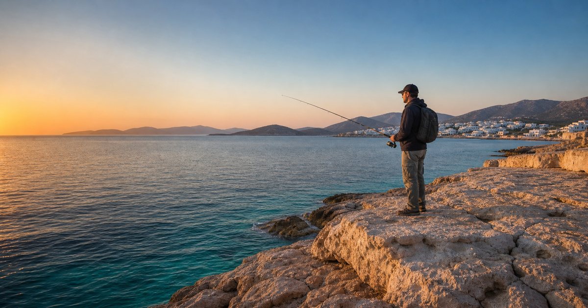
Start with 13 carefully described places in this category, each with a stable URL, local characteristics, access notes, hazards and a live seven-day forecast.
A forecast, not a promise of a catch
Plan your outing around the conditions
The indicators rate weather comfort and exposure only. They do not forecast fish presence or activity.
Safety: forecasts are not intended for navigation. Check official bulletins, local restrictions and actual shoreline conditions. Call 112 or the Hellenic Coast Guard on 108 in an emergency.
Loading marine areas…
Selected marine point
Select an area
Select an area from the list or tap a marine point on the map.
Tap a marine point for a local forecast
Next 10 days
Marine forecast
Detailed assessment appears after you select a point.
Conditions indicators
By fishing style
Every three hours
Wind and sea
| Time | Weather | Wind | Wave | Period | Sea | Current |
|---|
What to check before setting out
➤ Wind & gusts
Beaufort gives a quick indication, but gusts around headlands and channels can be much stronger.
〰 Waves & period
For the same wave height, a longer period carries more energy onto shore. Never stand on wet or slippery rocks.
🌊 Swell & currents
Swell can arrive from distant weather. Modelled currents are indicative and unsuitable for navigation.
⛈ Thunderstorms
Stop fishing when lightning is possible. Rods and open shores increase exposure to lightning.
🌅 Light & return
Plan safe access and return, especially on remote shores. Carry a torch and charged phone and tell someone your plan.
⚖ Fishing rules
Check prohibited gear and species, minimum sizes, protected zones and the current local Port Regulation.
Data sources and important notes
Marine data
Waves, swell, surface temperature, sea level and currents come from the Open‑Meteo Marine API. Ten days are shown and responses are cached in the browser for 30 minutes.
Map and areas
The base map is OpenStreetMap. Points are representative forecast locations, not recommended or guaranteed fishing spots.
© OpenStreetMap contributors · ODbL
Law and safety
Rules can change by species, season and port area. Check the Greek Fisheries Directorate, the competent Port Authority and official notices.
Modelled sea level and currents have limited coastal accuracy and do not replace nautical charts or official bulletins.