
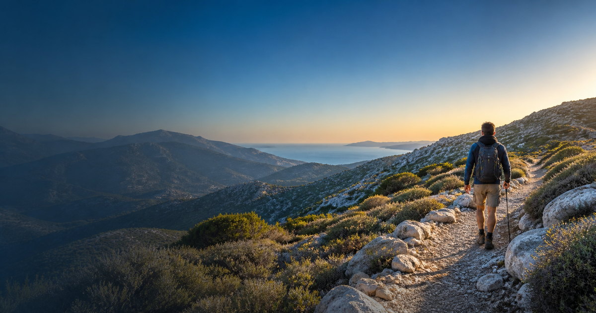
Selected permanent guides
Explore detailed destination pages
Start with 13 carefully described places in this category, each with a stable URL, local characteristics, access notes, hazards and a live seven-day forecast.
Before entering the trail
The catalogue contains 1,333 mapped routes from open data. Forecasts load only for the route you select and update automatically through Open‑Meteo.
Important: alignment, signage, passability and access may have changed. Check local notices, daylight and official warnings. Call 112 in an emergency.
Loading route catalogue…
Selected trail
Select a route
Select a route to load its map and forecast.
Route forecast
Useful information for hikers
⛈ Thunderstorms
Lightning is a critical risk on ridges and exposed terrain. Start early and return before expected deterioration.
☀ Heat & UV
Carry enough water, a hat and sunscreen. Prefer morning hours in summer and avoid exposed terrain at midday.
➤ Wind
Gusts can be much stronger on passes, summits and cliffs than in nearby settlements.
❄ Snow & ice
A forecast does not confirm passability. Winter terrain requires experience, suitable equipment and local checks.
🌇 Daylight
Plan to return before sunset and carry a head torch even for a day hike.
🎒 Essentials
Water, food, suitable footwear, spare clothing, charged phone, offline map and first-aid kit.
Data sources and important notes
Routes and map
Routes come from OpenStreetMap contributors. The catalogue includes route=hiking and route=foot relations centred within Greece.
Route weather
Temperature, precipitation, thunderstorm probability, wind, gusts, UV and sunset come from Open‑Meteo at representative route points.
Limitations
Distance and difficulty appear only when mapped or computable. Signage, ownership, access, passability and safety are not certified.
Follow 112, Civil Protection and local authorities during severe weather.